GIS & Geospatial Science
Learn how to use maps, GPS, remote sensing, drones, spatial analysis, and geospatial data science to solve problems in agriculture, water, energy, climate, planning, environment, and community resilience.
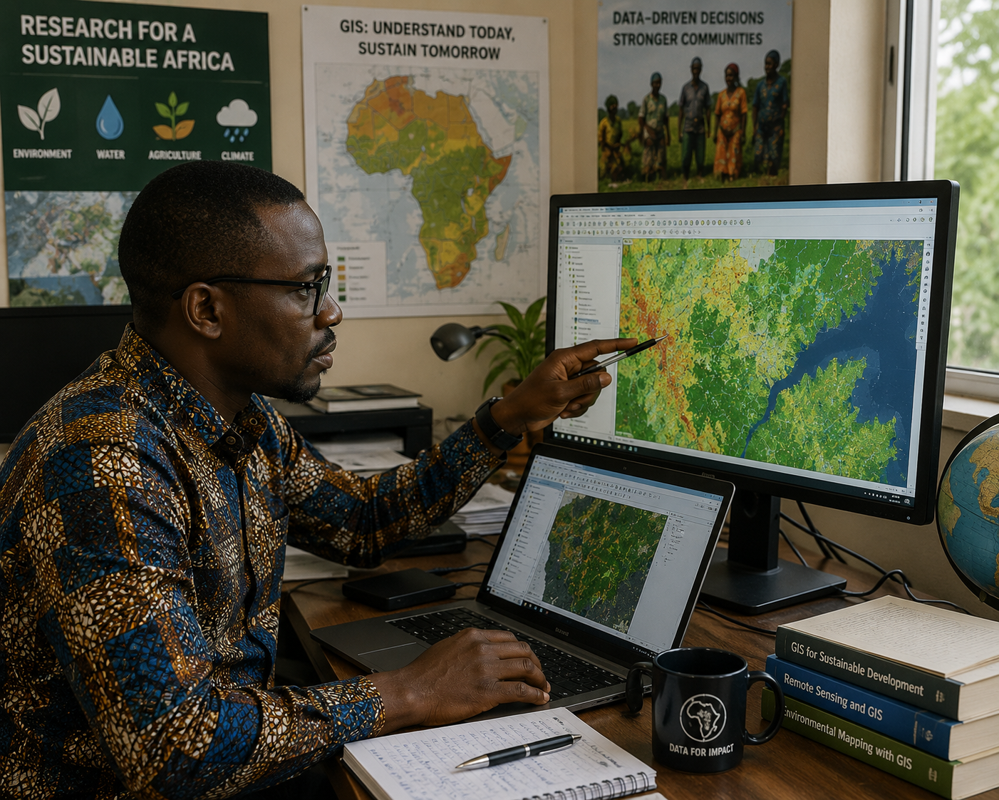
Category overview
This pathway helps learners build practical geospatial skills from basic mapping to advanced GIS programming, remote sensing, spatial statistics, drone analytics, and geospatial decision-support systems.
Who it is for
Students, researchers, planners, environmental professionals, farmers, GIS beginners, engineers, data analysts, and development practitioners.
What you learn
GIS, GPS, mapping, ArcGIS Pro, spatial analysis, remote sensing, drone data, web mapping, geospatial statistics, and Python GIS.
Skills gained
Spatial thinking, map design, data collection, GIS analysis, visualization, modeling, site suitability, and decision-support design.
Outcome
Learners can create maps, analyze spatial data, model environmental systems, and support evidence-based decisions.
Beginner Courses
Start here if you are new to maps, GIS, GPS, spatial thinking, and digital mapping.
Introduction to GIS
Understand what GIS is and how spatial data helps solve real-world problems.
Understanding Maps and Mapping
Learn map types, symbols, scale, direction, legends, and map interpretation.
Coordinate Systems Basics
Understand latitude, longitude, projections, coordinate systems, and location accuracy.
GPS Fundamentals
Learn how GPS works and how to collect basic location data.
Introduction to Remote Sensing
Explore satellites, imagery, sensors, land cover, vegetation, and earth observation.
Digital Mapping Skills
Build basic digital maps using online tools and simple geospatial workflows.
Introduction to ArcGIS Pro
Learn the ArcGIS Pro interface, layers, maps, layouts, and basic GIS operations.
GIS Data Types
Understand vector data, raster data, tables, attributes, shapefiles, and geodatabases.
Spatial Thinking Fundamentals
Learn how to think about location, distance, patterns, relationships, and spatial context.
Map Design Basics
Create clear maps using layout, color, labels, scale bars, legends, and visual hierarchy.
GIS for Agriculture
Use GIS to understand farms, soil, crops, irrigation, productivity, and land use.
GIS for Environment
Apply GIS to conservation, biodiversity, pollution, forests, and environmental monitoring.
GIS for Water Resources
Map watersheds, streams, rainfall, water access, flood zones, and irrigation systems.
GIS for Energy Systems
Use GIS to explore solar sites, grid access, energy demand, and infrastructure planning.
GIS for Community Planning
Use maps to support schools, roads, health services, food access, and community planning.
GIS Data Collection
Collect field data using forms, mobile devices, GPS points, photos, and attributes.
Mobile GIS Applications
Use mobile GIS apps for field surveys, community mapping, and data collection.
Drone Mapping Fundamentals
Understand drone mapping concepts, flight planning, imagery, and mapping outputs.
Introduction to Spatial Analysis
Learn basic spatial analysis concepts such as overlay, buffer, proximity, and patterns.
GIS Mapping Project
Create a beginner GIS map project using spatial data, design, and interpretation.
Intermediate Courses
Build applied skills in data management, analysis, remote sensing, cartography, and web mapping.
Spatial Data Management
Organize, clean, store, document, and manage spatial datasets for GIS projects.
Advanced ArcGIS Pro Skills
Use advanced tools for editing, geoprocessing, layouts, labeling, and analysis.
GIS Database Development
Design geodatabases, attribute tables, relationships, domains, and structured data systems.
Raster Analysis Fundamentals
Analyze elevation, land cover, suitability, climate, and satellite-derived raster datasets.
Vector Analysis Fundamentals
Use overlay, dissolve, intersect, clip, buffer, proximity, and network-related workflows.
GIS and Remote Sensing Integration
Combine GIS layers with satellite imagery for analysis, classification, and monitoring.
Drone Data Processing
Process drone imagery into orthomosaics, elevation models, and mapping products.
GIS for Precision Agriculture
Use GIS for crop monitoring, zones, soil variability, irrigation, and farm decisions.
GIS for Climate Studies
Map temperature, rainfall, drought, heat risk, exposure, and climate vulnerability.
GIS for Disaster Management
Map hazards, exposure, vulnerability, evacuation routes, and emergency planning needs.
GIS for Water Resource Planning
Analyze watersheds, water points, drainage, irrigation, flood risk, and water access.
GIS for Renewable Energy Planning
Assess solar, wind, infrastructure, land suitability, and energy access opportunities.
Geospatial Statistics
Understand spatial patterns, clustering, autocorrelation, hotspots, and statistical interpretation.
Cartography and Visualization
Create professional maps, dashboards, layouts, symbology, and visual storytelling products.
GIS Web Mapping
Create interactive web maps, online layers, map apps, and shared geospatial products.
Spatial Modeling
Build models for suitability, risk, access, resources, and environmental planning.
Land Use and Land Cover Analysis
Analyze land cover patterns, change detection, classification, and landscape transformation.
Environmental GIS Applications
Apply GIS to conservation, pollution, ecosystems, protected areas, and impact assessment.
GIS Project Management
Plan GIS projects, manage data, define outputs, coordinate teams, and deliver results.
Intermediate GIS Portfolio
Compile maps, analysis workflows, reports, and geospatial outputs into a portfolio.
Advanced Courses
For spatial statistics, Python GIS, machine learning, remote sensing, modeling, and decision support.
Advanced Spatial Statistics
Apply advanced spatial statistics for pattern detection, clustering, modeling, and inference.
GIS Programming with Python
Automate geospatial workflows using Python, geoprocessing, scripting, and data libraries.
Machine Learning for GIS
Use machine learning for classification, prediction, clustering, and spatial intelligence.
Advanced Remote Sensing
Work with satellite imagery, indices, classification, time series, and earth observation data.
Geospatial Data Science
Combine GIS, statistics, programming, visualization, and data science methods.
GIS for FEWS Analysis
Use GIS to analyze food, energy, water, climate, and community resource systems.
Agrivoltaic Site Suitability Analysis
Use spatial data to identify suitable locations for agrivoltaic and solar agriculture systems.
Climate Risk Mapping
Map drought, heat, flood, exposure, vulnerability, sensitivity, and adaptive capacity.
Hydrological GIS Modeling
Model watersheds, runoff, drainage networks, flow direction, and water-related risk.
Environmental Impact Mapping
Create spatial assessments for environmental impacts, constraints, risks, and mitigation.
Advanced Drone Analytics
Analyze drone-derived imagery, 3D models, vegetation indices, and high-resolution outputs.
GIS Decision Support Systems
Build geospatial tools that support planning, prioritization, investment, and policy decisions.
Spatial Optimization Modeling
Optimize site selection, resource allocation, access, routes, and infrastructure planning.
Urban and Regional GIS Planning
Apply GIS to cities, transport, housing, infrastructure, land use, and regional development.
Geospatial Research Methods
Design spatial research projects, methods, workflows, analysis plans, and reporting outputs.
GIS Policy and Governance
Understand data governance, spatial policy, privacy, standards, institutions, and ethics.
Big Data and GIS
Work with large spatial datasets, cloud geospatial workflows, and scalable mapping systems.
AI and Geospatial Intelligence
Explore AI-assisted mapping, spatial prediction, image analysis, and geospatial intelligence.
Future of Geospatial Technologies
Explore emerging trends in AI, drones, satellites, sensors, cloud GIS, and digital twins.
Capstone: Geospatial Decision Support Project
Design a complete GIS decision-support project with maps, analysis, recommendations, and outputs.
Certification pathway
Learners progress from GIS fundamentals to professional geospatial analysis, programming, modeling, and decision-support practice.
Related categories
Continue learning through connected LIFEWS Academy pathways.
Start your GIS learning pathway.
Begin with maps and spatial thinking, then progress into geospatial analysis, remote sensing, programming, and decision-support systems.